 Waymark Nordic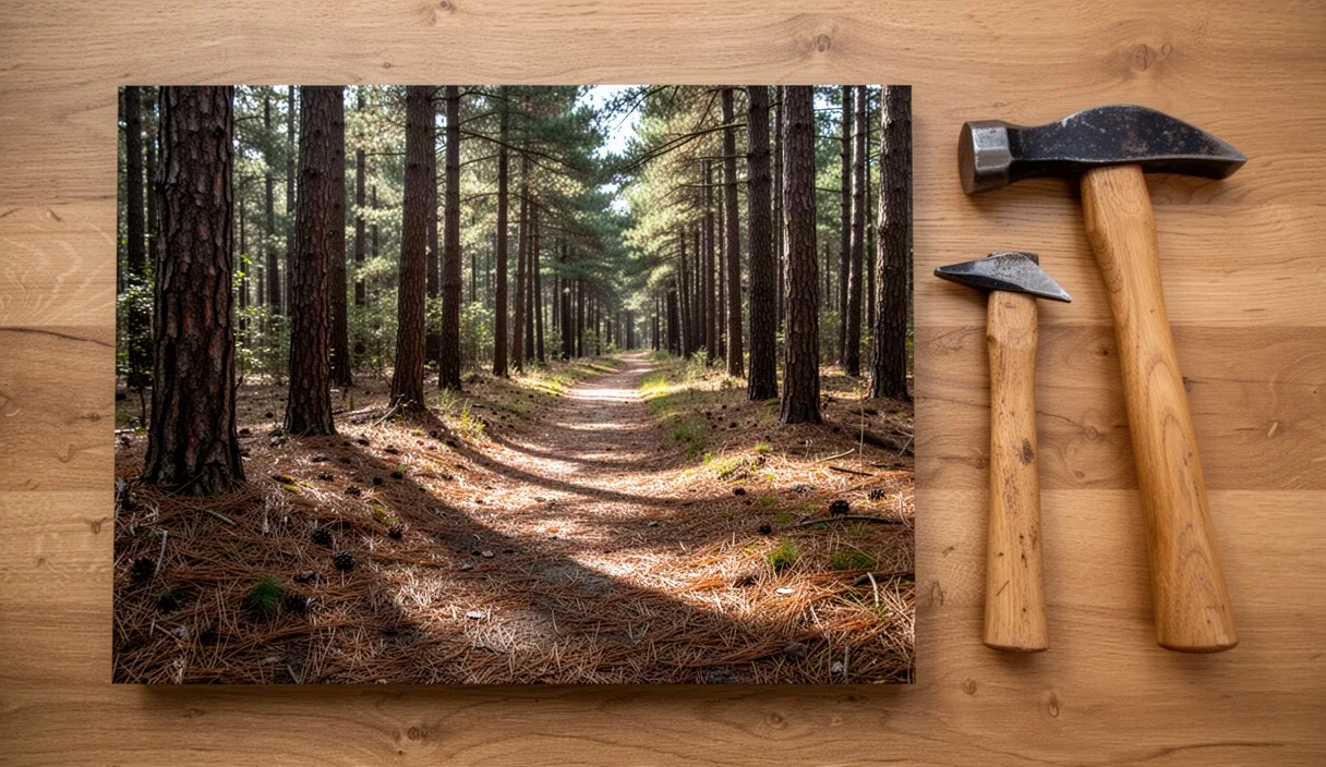
Sherwood Pines covers more than three thousand acres of mixed woodland near Edwinstowe, making it the largest public forest block in the East Midlands. For walkers and Nordic walkers, the attraction lies in its network of wide forestry roads and softer earth tracks that thread between Corsican pines, silver birch, and sweet chestnut. Because the Forestry England site rests on the Nottinghamshire sandstone belt, water drains away faster here than in the clay-heavy river valleys nearby, offering reliable walking surfaces throughout most of the winter.
Planning a route here requires a little foresight, because you share the forest with trail runners, disc golfers, horse riders, and high-speed cyclists. The key to an enjoyable outing is knowing how the forest floor behaves underfoot, how to adapt your pole plant to changing soils, and how to stay off the dedicated bike lines. This guide lays out a measured three-mile circuit, alongside practical hardware advice for your walking poles and straightforward directions to get the most from the forest terrain.
Forest Soil and Needle Footing
The ground beneath Sherwood Pines belongs to the Chester Formation, historically known as the Bunter Pebble Beds. This geology produces a deep, loose sandy soil interspersed with rounded quartzite river pebbles. Above this mineral layer sits an organic carpet composed of fallen pine needles, decaying cone fragments, and birch leaf litter. Depending on the weather and the specific track you choose, this surface presents distinct mechanical demands on your feet and joints.
In dry summer spells, loose sand can collect in depots along track corners and downhill gradients. Walking through deep sand forces your calf muscles and Achilles tendons to work harder, because each push-off loses energy as the grains shear beneath your footwear. In wet weather, however, this same sandy base provides a firm, mud-free platform compared to the slick marl found further east in the county. The pine needles knit together under rainfall, forming a springy mat that dampens foot strike impact without sticking to the soles of your shoes.
Hidden hazards remain common under the needles. Tree roots from mature Corsican pines run horizontally across the narrower earth paths just below the surface. These roots stay greasy long after the rain stops, and loose pine needles resting on top can act like ball bearings if you step directly onto them. Place your feet squarely between exposed root collars rather than landing your heel on the crest of a root, and keep your stride length moderate to maintain balance.
Setting Up Spiked Tips Safely
Nordic walkers and trekkers must pay close attention to their pole tips at Sherwood Pines, because a single circuit often shifts between hard-packed crushed limestone roads and soft needle beds. Standard rubber paws are designed for tarmac and uniform asphalt. On needle-strewn soil, rubber boots slip backwards at the plant phase because they cannot penetrate the loose organic layer to reach the firmer sand underneath.
For unpaved forest paths, strip off the rubber paws and engage the carbide or tungsten spiked tips. The sharp metal point pierces through three to four inches of needles to lock into the subsoil, providing the secure purchase you need to propel yourself forward. If your poles come with angled claw-style teeth, face the tooth backwards so it bites as your hand swings forward into the drive position. If you have joint inflammation or a chronic lower-back condition, you may wish to speak with an occupational therapist or physiotherapist about your grip posture, as correct pole loading can reduce ground impact forces.
| Surface Type | Recommended Pole Tip | Angle of Plant | Grip Characteristics |
|---|---|---|---|
| Crushed limestone road | Rubber paw or bell boot | 40 to 45 degrees | High friction, quiet strike, absorbs vibration |
| Pine needle duff | Exposed carbide spike | 45 degrees | Bites through debris to firm mineral soil |
| Deep dry sand | Spike with mud basket fitted | 40 degrees | Prevents the shaft sinking beyond the ferrule |
| Exposed root paths | Rubber paw with knurled base | 45 to 50 degrees | Reduces metal skid risk on wet timber |
When swapping between rubber paws and bare spikes, store the removed rubber accessories in a sealed pocket rather than dropping them loosely into your jacket. The sandy forest floor swallows dark rubber paws instantly if they fall. Inspect your carbide points before leaving the car park; if the tips have worn flat from road use, they will skate off damp quartzite pebbles and disrupt your walking rhythm.
The Three-Mile Pine Needle Loop
This measured circuit covers approximately 4.8 kilometres (three miles) on wide, well-surfaced tracks, avoiding steep technical descents while capturing the quietest pine stands in the western sector of the forest. The route starts and finishes near the main visitor courtyard.
Departure from the Courtyard: Face the main trail information board outside the cafe. Turn your back to the building and head due north past the play area, following the wide gravel track marked as the Green Walking Trail. After three hundred yards, the play noise fades and you will reach a timber trail post. Fork left onto the shared access track known as Boundary Ride, keeping the tall pine plantation on your left and an open heath restoration patch on your right.
The Western Sand Track: Follow the Boundary Ride for approximately one mile. The surface here changes from graded stone to compressed sand covered with a dense mat of orange needles. You will pass marker posts for the disc golf course on your left; remain on the main track and resist the temptation to take small unmapped detours into the trees. Look out for the low earth banks along the boundary line, which date back to historical field enclosures and First World War training exercises carried out by troops based at nearby Clipstone Camp.
The Southern Forestry Cut: At the two-mile mark, the track meets a broad firebreak clearing intersecting at a right angle. Turn sharp right onto this firebreak, where the forestry team frequently stacks timber. The track runs gently downhill for 800 yards. Here, your pole cadence can lengthen as the ground levels out. Take care across this section during timber harvesting periods, as logging machinery leaves wide, rutted tire tracks that can fill with standing water.
Return to Base: At the bottom of the firebreak, join the graded stone avenue that leads east. Follow the purple waymarker posts that signal the heritage walking loop. This avenue brings you steadily back toward the Activity Centre and cycle hire barn. Maintain an even pace, planting your poles firmly to work your upper body on the mild uphill rise that precedes the main car park entry.
Avoiding Active Cycling Singletracks
Sherwood Pines is one of the busiest mountain bike hubs in central England, featuring purpose-built trails that cross or run parallel to walking corridors. Collisions occur most often when walkers inadvertently stray onto cycling singletracks or when cyclists travel fast down shared arterial tracks. You can protect your space and keep the forest peaceful by learning to read the trail markings accurately.
Mountain bike paths are classified by colour-coded timber posts, and walkers should never walk on routes marked with cycling discs:
- Blue Cycle Route: A flowing, bermed trail intended for intermediate cycling. It crosses walking tracks at several blind junctions.
- Red Cycle Route: A technical trail with drop-offs, elevated boardwalks, and rock gardens. This is strictly single-direction bike traffic.
- Bike Park and Dirt Jumps: Fenced areas in the central forest block with steep earthen ramps. Pedestrians must stay entirely outside the perimeter fencing.
- Green Walking Waymarkers: The only designated pedestrian tracks guaranteed to be free from engineered bike features.
Whenever you hear the sound of approaching freewheels or tyres on gravel behind you, maintain your line rather than jumping unpredictably to the left or right. Cyclists will usually anticipate passing on a clear flank. If you are using walking poles, tuck them close to your body until the bike passes so the tips do not catch the rider's wheels or pedals. Keep personal audio equipment at a low volume or use open-ear bone-conduction headphones so you hear warning bells and verbal calls from riders approaching through blind turns.
Parking and Facilities at Sherwood Pines
The main entrance sits off the B6030 road between Kings Clipstone and Ollerton. Sherwood Pines uses an automatic number plate recognition (ANPR) parking system. You do not need to display a paper ticket inside your vehicle on arrival; instead, drive through the barrier, park, and pay at the automated pay stations before driving out at the end of your visit.
Parking rates are structured across the day, with tariffs charged for two hours, up to four hours, or an all-day stay. Forestry England members park free of charge using their annual window pass or digital registration. The car park features dedicated accessible bays close to the main visitor hub, alongside electrical vehicle charging points managed through standard mobile payment networks. The gates open at 8:00 AM daily and close at dusk, with exact seasonal closing times posted at the vehicle entrance.
The visitor hub offers reliable amenities before you hit the trail:
- Restrooms and Showers: Located opposite the cafe, including accessible cubicles and baby changing facilities.
- Water Refill Station: An external drinking water tap is mounted beside the main toilet block for filling bladders and sports bottles.
- Boot and Dog Wash: A coin-operated washing spray station is situated near the cycle hire building, helpful for stripping wet sand from boots and pole shafts before loading your car.
- Catering: The forest cafe serves hot meals, tea, and snacks, with an outdoor seating deck where poles and muddy boots are welcome.
Common Mistakes to Avoid
A few frequent oversights can turn an easy walk into an awkward afternoon. Steer clear of these missteps when planning your circuit:
- Leaving rubber paws on over thick needles: The rubber slips across the needles, causing you to overreach with your shoulders and strain your upper back.
- Following unmarked dirt lines: Many narrow paths through the pines are illegal downhill bike lines made by local riders. They frequently feature hidden jumps and blind drops.
- Ignoring forest operations signs: When Forestry England is thinning timber, whole blocks are closed with high-visibility barrier mesh. Never step past these barriers, as winch cables and falling timber travel vast distances.
- Forgetting to clean pole twist-locks: Sand at Sherwood Pines gets into telescoping pole shafts. If you adjust your pole height on the trail, wipe the lower shaft with a sleeve before sliding it back into the collar to avoid scratching the internal threads.
Getting Ready for Your Visit
Before heading out, check the Forestry England website for Sherwood Pines to confirm there are no active forestry harvesting closures or organized sporting events taking place along the Western blocks. Pack a small microfibre rag in your rucksack to wipe grit from your pole ferrules at the end of the walk, and make sure your carbide spikes are securely tightened in their housings.
Once you pull into the forest car park, take two minutes to adjust your wrist straps and secure your pole length. Set the pole handles to elbow height while standing on flat ground, step past the noisy visitor courtyard, and let the quiet rhythm of the pine forest settle your stride.